Complete guide to Jordan
Jordan fits in a pocket handkerchief, barely larger than Portugal, yet condenses four distinct worlds. In the north, the hills of Ajloun and the Roman ruins of Jerash breathe olive and pine. In the center, Amman combines Rainbow Street cafés and Umayyad remains of the citadel. Further south, the red sands of Wadi Rum give way to the sandstone cliffs of Petra, carved by the Nabataeans over two thousand years ago.
The Dead Sea, 430 meters below sea level, marks the lowest point on the planet. Two hours' drive away, the Gulf of Aqaba opens onto the Red Sea and its coral reefs. Between the two, the Dana Biosphere Reserve protects ibex and vultures across 300 km² of canyons. Cuisine mirrors these landscapes: mansaf with lamb and fermented yogurt in the center, maqluba overturned at table, knafeh with cheese in historic Nablus and Salt.
Our English-speaking team based in Amman recommends allowing a minimum of 8 days to connect Jerash, Amman, the Dead Sea, Petra and Wadi Rum without rushing. Allow 12 to 15 days to add Dana, the desert castles and a dive in Aqaba. The country is traversed by car, distances remain reasonable and the King's Highway remains the most compelling route.
The regions of Jordan
Each region has its own personality: climate, landscapes, pace of life and ways of traveling. Our local team helps you choose the combination that suits you.
Amman and the North
Amman spreads its seven white hills around the citadel, dominated by the Temple of Hercules and the Umayyad Palace. The city comes alive on terraces, cardamom coffee in hand, in the neighborhoods of Jabal Amman and Jabal Weibdeh. Fifty kilometers to the north, Jerash preserves a Roman cardo paved for 800 meters, still marked by chariot ruts. Higher up, Ajloun's forests surprise travelers who imagine Jordan as purely desert: chestnut and olive trees and an Ayyubid castle built against the Crusaders. From November to March, temperatures frequently drop below 10°C at night—bring a fleece jacket. An ideal region to start a trip at a gentle pace.
Dead Sea and Jordan Valley
The Dead Sea boasts a salinity of 34%, ten times higher than the Mediterranean. You float effortlessly there, your body buoyed by the water's density. The Jordanian shore remains less crowded than the Israeli side and preserves a few public beaches south of Amman Beach. An hour to the north, the baptismal site of Bethany Beyond the Jordan marks, according to tradition, the place of Christ's baptism. The Mujib and Zarqa Ma'in wadis offer refreshing canyoning between April and October, with hot springs at 40°C cascading down the cliffs. Plan two days to spend there after Amman.
Petra and the King's Highway
The King's Road connects Madaba to Petra over 280 km of winding roads, skirting the Wadi Mujib canyon and the Crusader castle of Kerak. Petra itself requires two full days: the 1.2 km Siq opens onto the Khazneh at sunrise, then you must climb 850 steps to reach the Deir, the Monastery, perched at 1100 m altitude. The site covers 264 km², though most visitors see only 15% of it. The nearby village of Wadi Musa concentrates the accommodation options. Petra by Night takes place Monday, Wednesday and Thursday, with 2000 candles lit in the Siq. Our team recommends March-April and October-November, with temperatures around 22°C.
Wadi Rum
720 km² of red-orange sand, sandstone cliffs rising to 1750 m at Jebel Umm ad Dami, the country's highest peak. Wadi Rum is inhabited by Bedouins from the Zalabia tribe, who manage most of the camps. A night under a black tent, zarb meals cooked in the sand for three hours, sage tea served at sunset. Temperatures climb to 40°C in July-August during the day but drop to 5°C at night in winter. You can travel by 4x4 or camelback, and some opt for two days of trekking between Khazali and Burrah canyons. Lawrence of Arabia wrote part of Seven Pillars of Wisdom here.
Aqaba and the Red Sea
Aqaba provides access to 27 km of Jordanian coastline on the Gulf of Aqaba. The city serves as a base for diving and snorkeling on the Yamanieh reefs, Cedar Pride (a cargo wreck sunk in 1985) and Tank Reef (a submerged M42 tank). The water stays warm year-round, ranging from 21°C in February to 28°C in August, with visibility often exceeding 30 m. Aqaba benefits from special economic zone status, where alcohol and tobacco are less heavily taxed. A great option to end a trip on a relaxed note—two to three days are sufficient. Direct flights from Europe are available in season.
Dana and the Eastern Desert
The Dana Biosphere Reserve descends from 1500 m altitude to 50 m below sea level over 14 km as the crow flies. Four bioclimatic zones coexist, sheltering the caracal, Nubian ibex, and Egyptian vulture. The Ottoman village of Dana, partially restored, offers ecolodges managed by the RSCN. To the east, the desert castles (Qasr Amra with its UNESCO-listed Umayyad frescoes, Qasr Kharana, Azraq where Lawrence stayed in winter 1917) can be visited in a day loop from Amman. A demanding region for hikers, with several marked trails ranging from 3 to 14 km.
Explore by theme
Unique experiences tailored to every traveler.
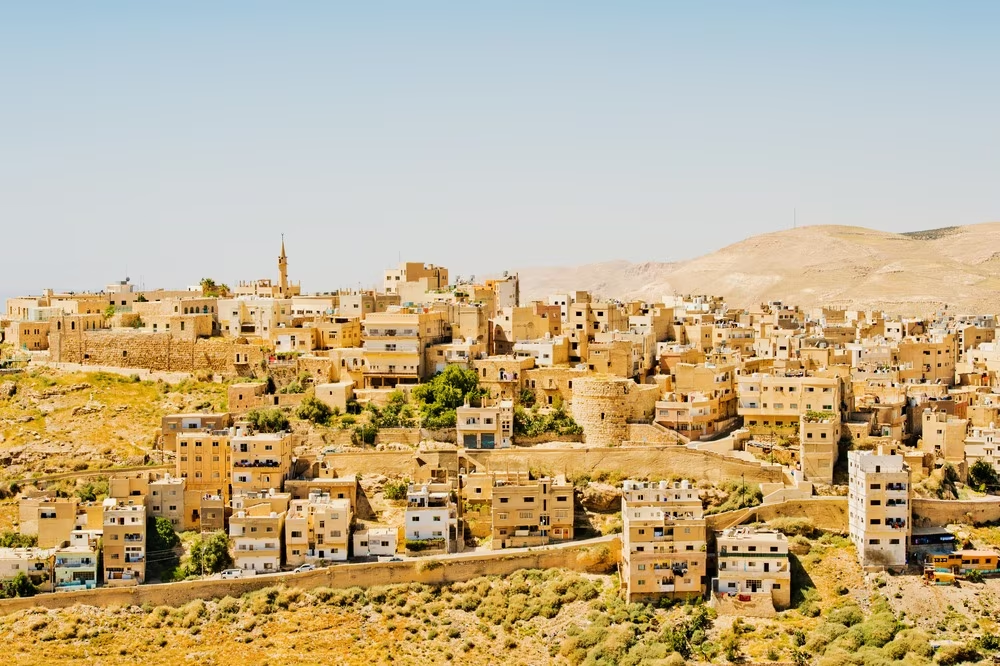
Culture & Heritage
Temples, musées, sites historiques
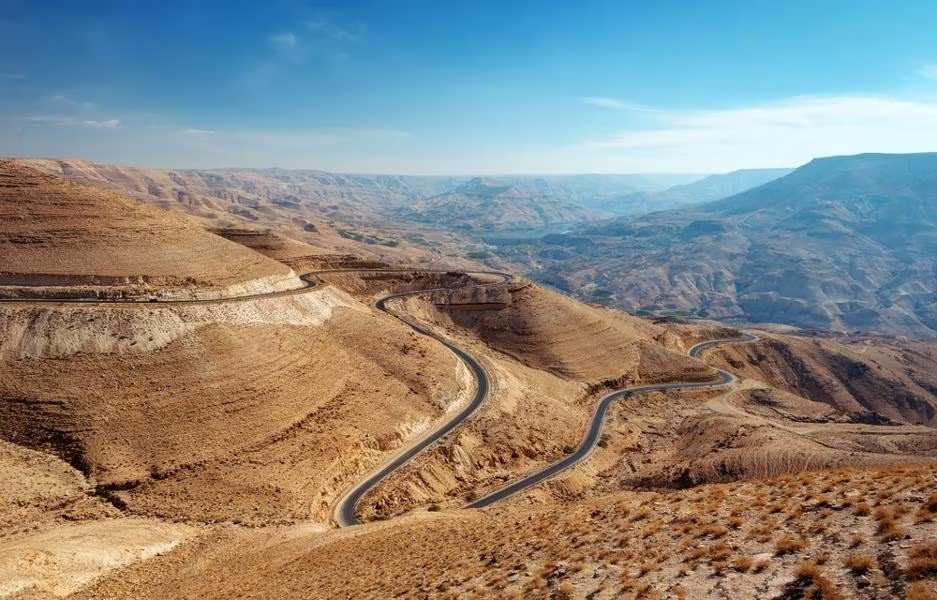
Nature & Landscapes
Parcs nationaux, montagnes, forêts
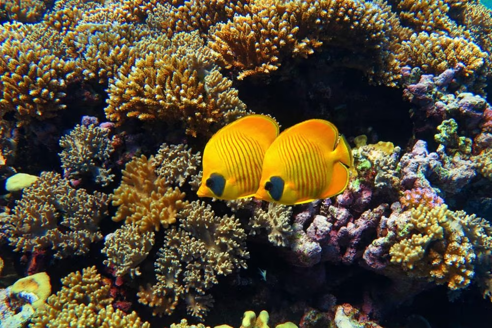
Sea & Beaches
Littoral, îles, sports nautiques
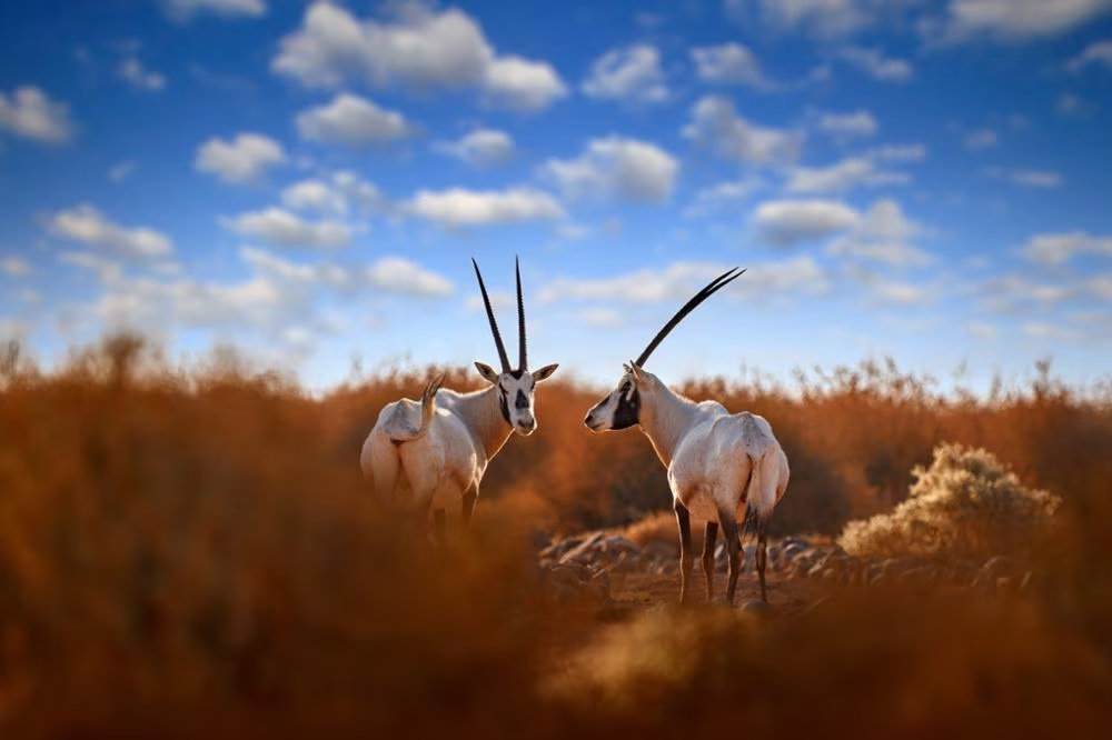
Wildlife & Biodiversity
Observation animale, sanctuaires, réserves
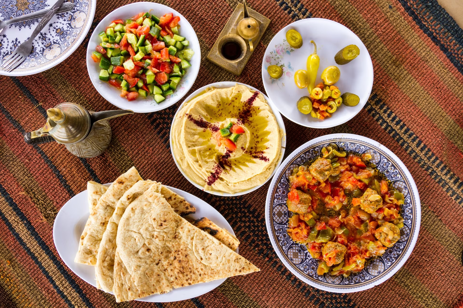
Gastronomy
Cuisine locale, marchés, cours de cuisine
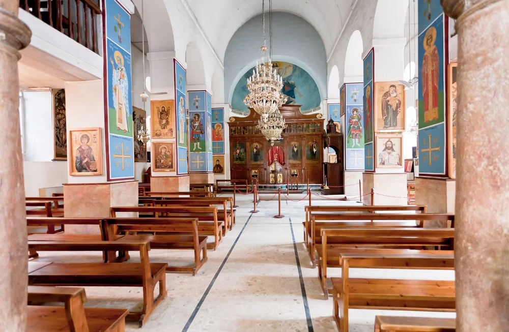
Spirituality
Temples, méditation, retraites spirituelles
We use cookies to improve your experience and measure our site's audience. You can choose what you accept. Learn more.